THE APPROACH & ARRIVAL
The Draw
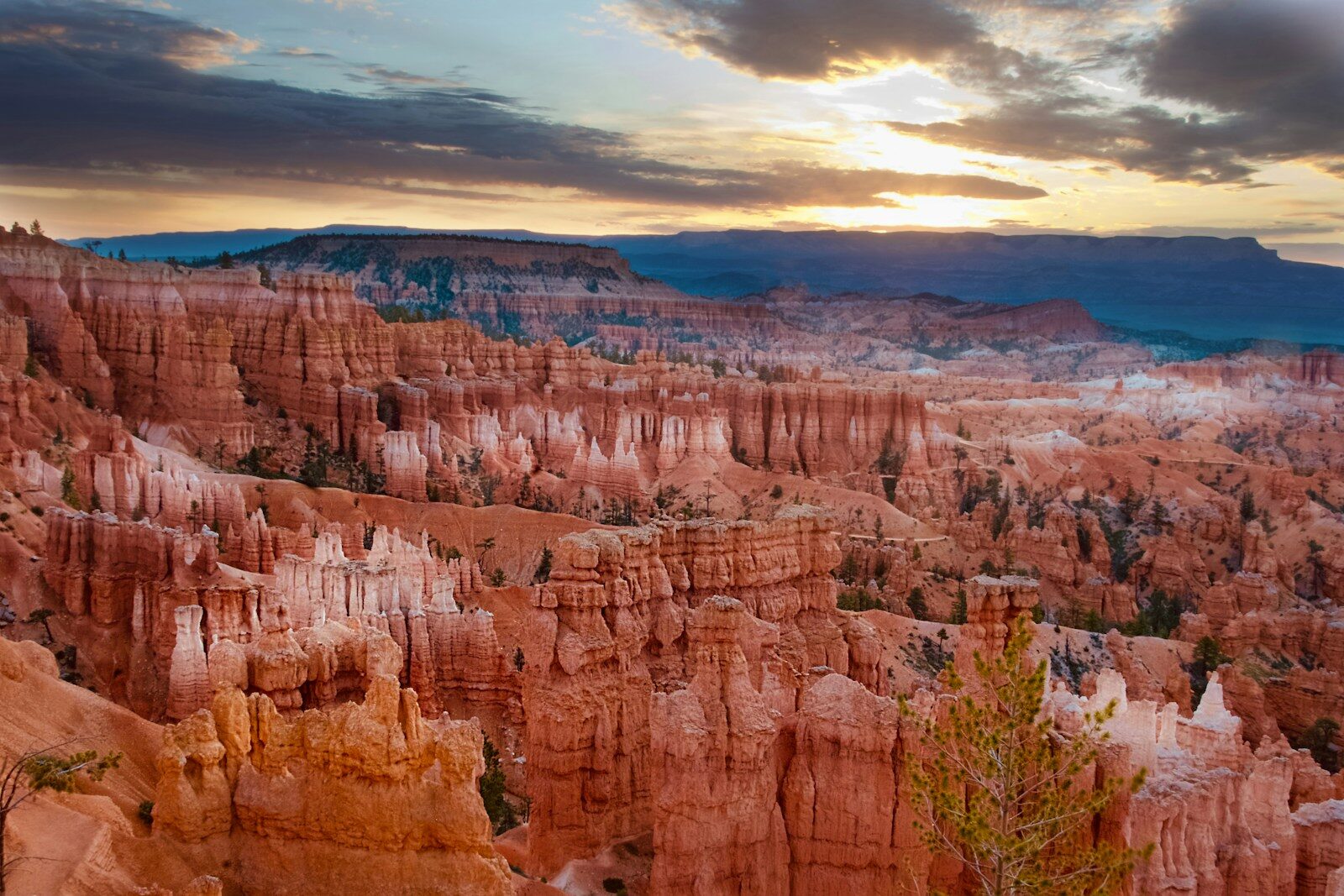
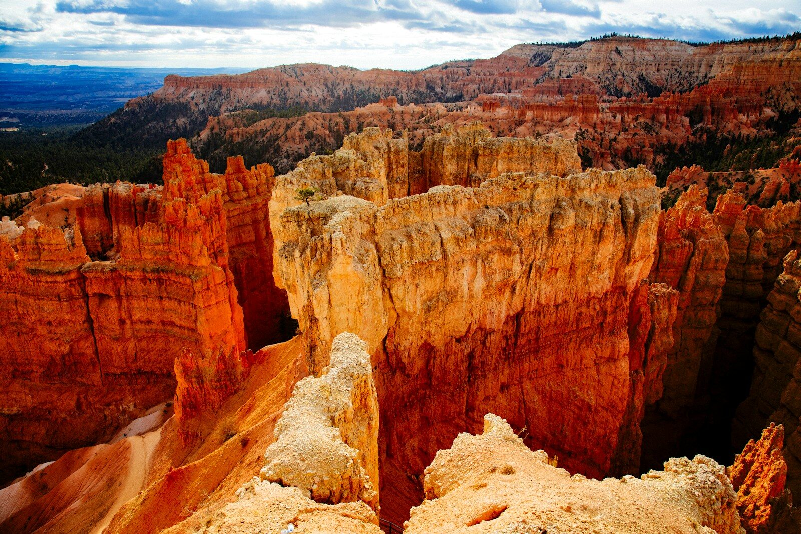
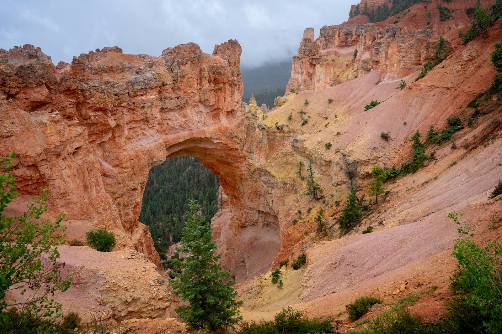
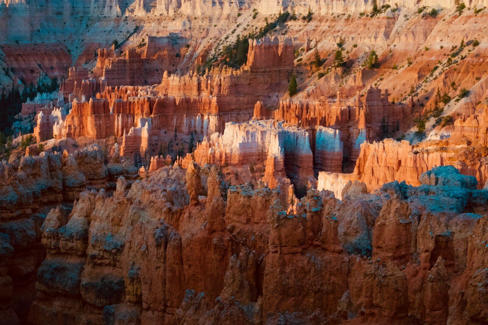
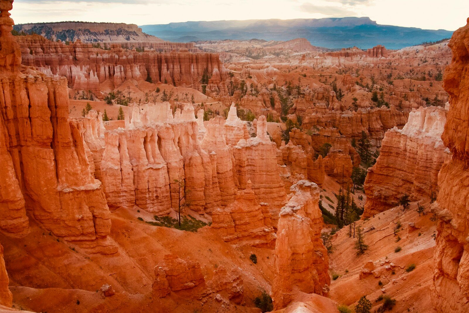
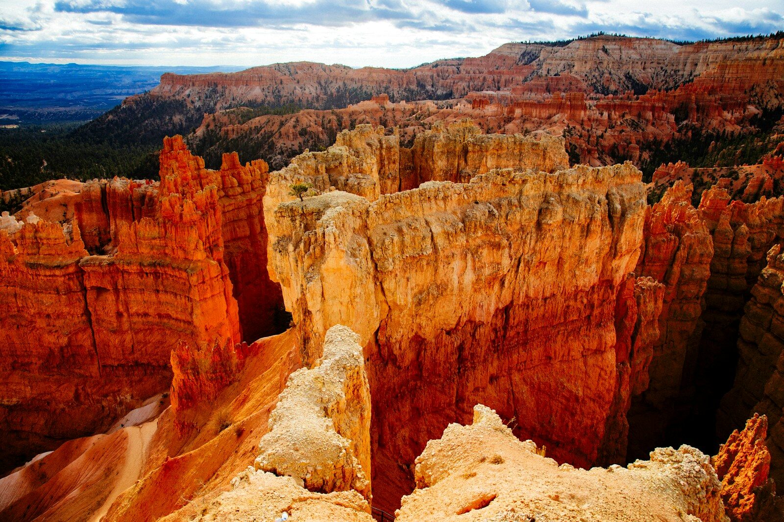
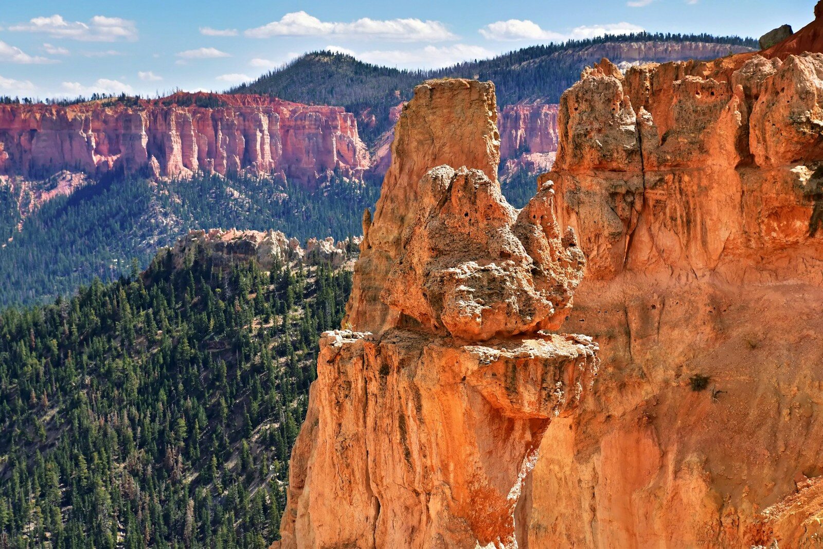
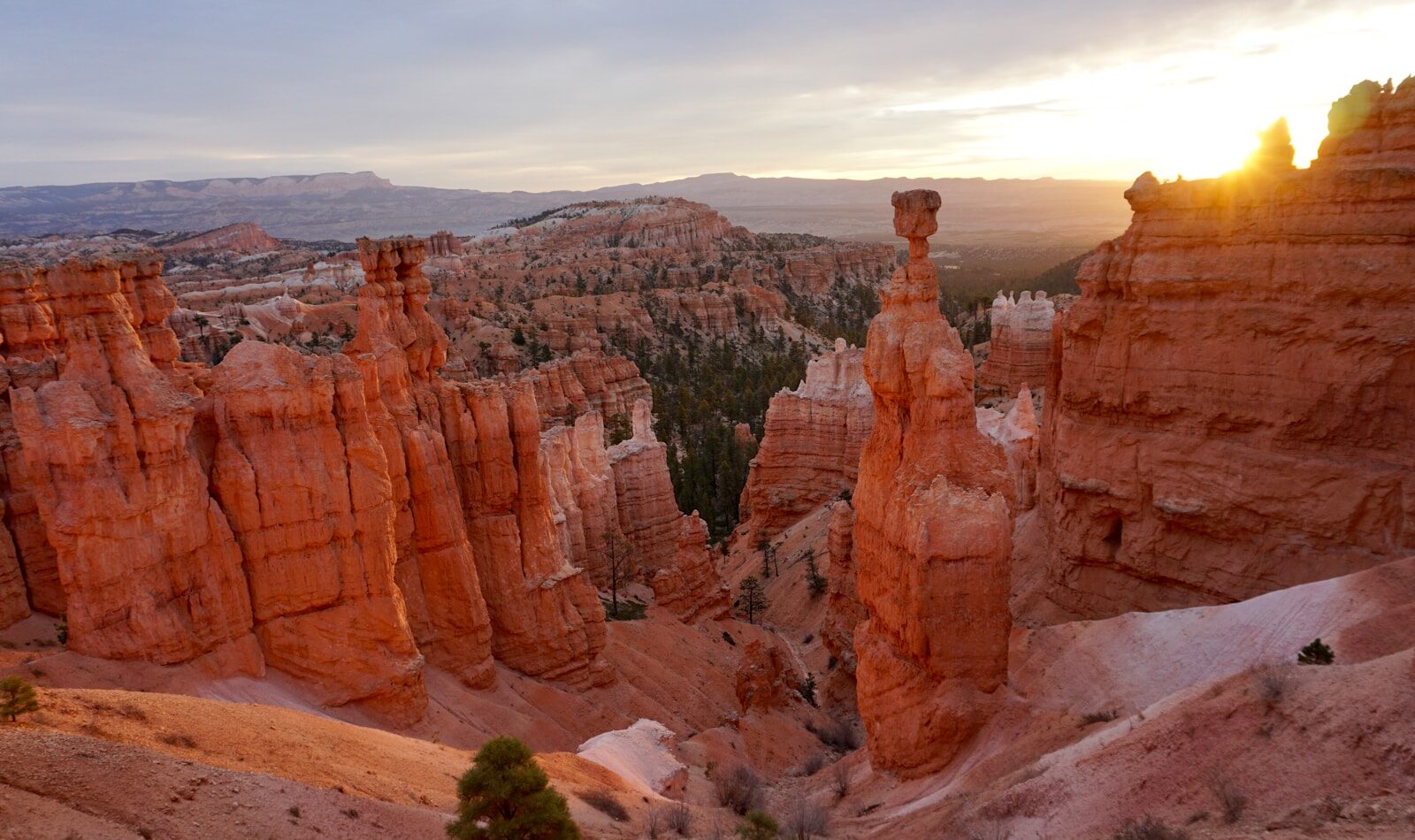
Welcome to the world’s largest concentration of hoodoos—bizarre, brilliantly colored rock spires sculpted by millennia of ice and rain. Bryce isn’t actually a canyon at all; it’s a series of massive natural amphitheaters carved into the eastern edge of the Paunsaugunt Plateau. Peaking at a breathtaking 9,115 feet in elevation, this 35,835-acre alpine wonderland feels more like a Martian cathedral than a typical national park. Between the staggering crimson rock formations, the dense forests of ancient bristlecone pines, and skies so dark you can see thousands of stars with the naked eye, Bryce Canyon is a geological masterpiece that demands to be explored.
The Map & Geography
Located in southwestern Utah, Bryce Canyon is a high-altitude marvel. The park is long and narrow, situated entirely along the edge of a plateau. There is only one main road going in and out (Highway 63), extending 18 miles south to its dead-end at Rainbow Point. The park is broadly divided into two main zones: the hyper-famous "Bryce Amphitheater" (home to the highest concentration of iconic hoodoos and sunrise spots) and the "Southern Scenic Drive" (higher elevation, dense forests, and sweeping, expansive viewpoints).
- Interactive Map Link: Explore Bryce Canyon on Google Maps
- Key Entrances/Zones: There is exactly one entrance station on UT-63 South, just past the gateway hub of Bryce Canyon City. The only exception is the Mossy Cave Trail, which is technically inside the park but accessed from outside the main entrance along UT-12 heading east toward Tropic.
Climate & Weather
Do not let the "Utah" label fool you into packing just shorts and a tank top. Because Bryce sits at 8,000 to over 9,000 feet, it has an alpine climate. It receives significant snowfall in the winter (averaging nearly 100 inches) and features wild temperature swings in the summer. It is completely normal for summer mornings to start in the low 40s before roasting in the 80s by the afternoon.
| Month / Season | Avg. High | Avg. Low | Precipitation / Conditions | Seasonal Notes (Crowds, Closures, Microclimates) |
|---|---|---|---|---|
| Winter (Dec-Feb) | 36°F | 15°F | Heavy snow, icy trails. | Magical and empty. The contrast of white snow on red hoodoos is a photographer's dream. The main road often closes past mile 3 during heavy storms. Traction spikes are mandatory. |
| Spring (Mar-May) | 55°F | 28°F | Melting snow, muddy trails, occasional late storms. | Crowds begin to build. Trails down into the amphitheater can be dangerously slick with mud and "corn snow." Pack layers, as the wind off the plateau is biting. |
| Summer (Jun-Aug) | 80°F | 50°F | Monsoon season hits late July/August (afternoon storms). | Peak crowds. Shuttle is running. The high elevation means the sun is incredibly intense. Be off exposed trails and viewpoints by 1 PM to avoid deadly lightning strikes. |
| Fall (Sep-Nov) | 60°F | 33°F | Crisp, dry, perfect hiking weather. | The absolute sweet spot for visiting. The summer heat breaks, the monsoons disappear, and the crowds thin out slightly by late October. First snow often hits in November. |
Travel Logistics & Transit to Destination
- Minimum Days Needed: 2 days (Ideal: 3 days). You need one day strictly for hiking deep into the Amphitheater (e.g., the Figure 8 Loop), one day for driving the 18-mile Southern Scenic Drive to Rainbow Point, and a third day to catch a sunrise, rest your knees, and maybe tack on a horseback ride or stargazing tour.
- Required Passes/Fees: $35 per vehicle (valid for 7 days). Alternatively, use the America the Beautiful Annual Pass ($80). No timed entry reservations are required for the 2026 season, making this one of the most accessible major parks in Utah.
- Real-Time Alerts: Always check NPS Current Conditions for trail closures. The Wall Street section of the Navajo Loop typically closes in winter due to deadly rockfalls and ice.
How to Get There
Bryce Canyon is relatively remote. It is part of the famed "Mighty 5" road trip route, heavily dependent on driving across sweeping desert highways and scenic mountain passes.
| Travel Mode | Primary Hub / Route | Est. Duration | Pros & Cons | Seasonal Limitations |
|---|---|---|---|---|
| Plane (Major Hub) | Harry Reid Int'l (LAS) - Las Vegas | 4 hrs drive to park | Cheapest flights and rental cars. Cons: It's a long drive, though highly scenic (you'll pass Zion National Park). | Year-round access. |
| Plane (Major Hub) | Salt Lake City Int'l (SLC) - Utah | 4 hrs drive to park | Great alternative to Vegas if you're hitting Capitol Reef or Moab next. Cons: Drive is less dramatic than the southern route. | Winter driving on I-15 and UT-20 can get sketchy during snowstorms. |
| Plane (Regional Hub) | St. George Regional (SGU) - Utah | 2.5 hrs drive to park | Closest commercial airport. Highly convenient. Cons: Flights are pricier and less frequent; rental car supply is smaller. | Year-round access. |
| Car/Drive | UT-12 (Scenic Byway) | From Zion: 1.5 - 2 hrs | Driving UT-12 (an All-American Road) is one of the greatest driving experiences in the world. Mandatory. | UT-12 is well-plowed but can be treacherous during active blizzards. |
Budget & Cost Expectations
- Relative Cost Index: Moderate to Expensive. Like most gateway park towns, convenience commands a premium. Food and lodging right outside the park are pricey, but cheaper alternatives exist 15-30 minutes away.
- Estimated Daily Spend:
- Budget: $60-$90/day (Camping in the park or National Forest, cooking your own meals, hiking free trails).
- Mid-Range: $200-$300/day (Staying at a mid-tier hotel in Tropic or Panguitch, casual dining, buying souvenirs).
- Luxury: $450+/day (Staying at The Lodge at Bryce Canyon or luxury cabins, guided tours, upscale dining).
- Cultural Basics: Card is king, but bring cash to tip your horseback guides. Cell service is decent near the visitor center and Bryce Canyon City but drops to absolute zero once you descend into the canyon or drive south to Rainbow Point.
BASE CAMP LOGISTICS (STAY & EAT)
Local Transit & Regional Passes (The Bryce Canyon Shuttle)
While personal vehicles are legally permitted throughout Bryce Canyon year-round, navigating the park by car during peak season is a brutal test of patience. The parking lots at the main Amphitheater viewpoints (Sunrise, Sunset, Inspiration, and Bryce Points) are notoriously small and reach maximum capacity by 9:00 AM. Your ultimate logistical hack is the Free Bryce Canyon Shuttle. It eliminates the stress of hunting for parking and allows you to do brilliant point-to-point hikes (like walking the Rim Trail from Bryce Point to Sunrise Point) without having to backtrack to a parked car.
- Cost & Access: 100% free with your park entry fee. You can board outside the park in Bryce Canyon City or at various stops inside the park.
- Frequency & Accessibility: Buses arrive roughly every 15 minutes. All buses are fully wheelchair accessible and equipped with front racks that accommodate two bicycles.
- The Route Limitation (Crucial Detail): The standard shuttle route only covers the Bryce Amphitheater. It does not drive the 18-mile Southern Scenic Drive to Rainbow Point. If you want to visit the southern end of the park, you must take your own vehicle.
| 2026 Shuttle Season Dates | Operating Hours | Key Stops & Route Connections |
|---|---|---|
| Spring: April 3 – May 8, 2026 | 8:00 AM – 6:00 PM |
External Stops (Bryce Canyon City): Shuttle Station, Ruby's Inn, Ruby's Campground. Internal Park Stops: Visitor Center, Sunset Campground, Bryce Point, Inspiration Point, Sunset Point, The Lodge at Bryce Canyon, Sunrise Point, and North Campground. |
| Summer (Peak): May 9 – Sept 20, 2026 | 8:00 AM – 8:00 PM | |
| Fall: Sept 21 – Oct 18, 2026 | 8:00 AM – 6:00 PM |
Expert Insider Tip (The Rainbow Point Tour): While the regular hop-on, hop-off shuttle doesn't go to the southern end of the park, the NPS offers a free, guided 3.5-hour Rainbow Point Shuttle Tour twice daily (typically at 9:00 AM and 1:30 PM) during the summer. A ranger covers the entire 18-mile scenic drive with you! However, seating is strictly limited. You must reserve your spot up to 7 days in advance by calling or visiting the Shuttle Station in Bryce Canyon City.
- Official Shuttle Schedule, Maps & Live Tracker: NPS Bryce Canyon Shuttle Operations
In-Park Camping Details & Reservations
Camping among the ponderosa pines at 8,000 feet inside Bryce Canyon National Park is an unforgettable high-desert experience. The park features two official campgrounds located near the main Bryce Amphitheater.
- North Campground (Tents & RVs): Located directly across from the Visitor Center and a short walk from Sunrise Point and the Rim Trail. Offers 99 sites spread across 4 loops. Loop A & B accommodate RVs; Loops C & D are reserved strictly for tent campers. Features flush toilets and a seasonal dump station, but no individual site hookups.
Booking Strategy: Operates strictly on a reservation basis from May 19 through October 7 via a 6-month rolling window at 10:00 AM EST on Recreation.gov. Sells out rapidly for summer weekends. Converts to first-come, first-served during the winter months.
Official Link: Reserve North Campground on Recreation.gov - Sunset Campground (Tents & RVs): Located 1.5 miles south of the Visitor Center, directly across from Sunset Point and the main trailheads. Offers 100 sites (Loop A for RVs, Loops B & C for tents). Extremely convenient for early morning sunrise hikes into Wall Street.
Booking Strategy: Reservations are required for all sites from May 19 through October 15 on a 6-month rolling window via Recreation.gov. One loop remains open for first-come, first-served winter camping outside peak season.
Official Link: Reserve Sunset Campground on Recreation.gov - Amenities & Fire Restrictions: Both campgrounds feature portable water spigots and flush toilets during summer. Coin-operated hot showers and laundry facilities are available nearby at the Bryce Canyon Lodge General Store. Campfires are restricted to designated metal fire rings; seasonal wood-burning fire bans take effect during dry summer conditions.
For complete rules and seasonal opening dates, visit the Official NPS Bryce Canyon Camping Page.
Where to Stay (Lodging & Base Camp Hubs)
Base camp strategy is simple: pay for proximity or save money by driving a little further. The surrounding communities have robust infrastructure to support the massive summer crowds.
| Base Camp Area | Hub Category | Drive Time to Site | Vibe & Best For | Lodging & Dining Density | Map Link |
|---|---|---|---|---|---|
| The Lodge at Bryce Canyon | In-Park Hub | 0 mins (You're there) | Historic 1920s architecture sitting right between Sunrise and Sunset points. Perfect for stargazing and avoiding transit. Books out nearly a year in advance. | One lodge, limited dining, high demand. | Lodge Map |
| Bryce Canyon City (Ruby's Inn) | Immediate Gateway | 5 mins | A massive tourist complex directly outside the park gate. Features hotels, RV parks, grocery stores, and tourist shops. Best for ultra-convenience. | Very High. Giant hotels, buffets, fast food, and gear shops. | Bryce Canyon City Map |
| Tropic, Utah | Nearby Town | 15 mins | A quiet, charming agricultural town located down in the valley east of the park. Offers beautiful views, boutique cabins, and significantly fewer crowds. | Medium. Several great bed and breakfasts, solid restaurants, and a local vibe. | Tropic Map |
| Panguitch, Utah | Regional Gateway | 30 mins | Historic pioneer town with classic brick buildings. Great budget option with quirky motels. Excellent if you want to escape the "tourist trap" feel. | High density of budget/mid-range motels and local diners. | Panguitch Map |
Interesting & Unique Culinary Experiences
- Iconic Regional Flavors: Southern Utah isn't globally famous for its cuisine, but it excels at hearty, high-calorie pioneer comfort food. Expect elk burgers, massive steaks, Utah scones (fried dough with honey), and locally brewed root beer.
- Stone Hearth Grille (Tropic): This is the premier fine-dining option in the region. Hidden away in Tropic, it offers upscale steaks, fresh seafood, and incredible sunset views of the surrounding mountains. Reservations are mandatory.
- Valhalla Pizzeria & Coffee Shop (Inside the Park): Located right at the Lodge. After a brutal 6-mile hike out of the canyon, grabbing a slice of artisan pizza and a cold drink here feels like a religious experience.
- Ebenezer's Barn & Grill (Bryce Canyon City): A hyper-touristy but genuinely fun cowboy dinner show. It offers massive BBQ plates and live country music. It’s loud, cheesy, and a perfect way to end a long day of hiking.
- Dining Logistics: Dining in Bryce Canyon City means long waits during the summer peak (6 PM - 8 PM). Eat early or late to avoid the massive tour bus crowds hitting the buffets.
DESTINATION ATTRACTIONS & OUTDOOR EXPERIENCES
Top Sights, Iconic Highlights & Hidden Gems
The beauty of Bryce is how accessible it is. You can experience world-class, life-changing views simply by walking 20 feet from your car, but descending into the hoodoos is where the real magic happens.
| Attraction | The "Why" (Highlight & Expert Insider Tip) | The "When" (Best Time & Duration) | Logistics & Safety | Map & Transit |
|---|---|---|---|---|
| Sunrise Point | Offers spectacular views of the Boat Mesa and the Sinking Ship. Expert Tip: Ironically, Sunset Point often has better sunrise light, but Sunrise Point has far fewer crowds at dawn! | Dawn. Allow 30 mins. | Paved, flat, wheelchair accessible. Shuttle stop #2. | Map Link |
| Inspiration Point | Arguably the most awe-inspiring view in the park. It features three tiers of viewpoints providing plunging, steep views directly down into the densest concentration of hoodoos. | Mid-morning or late afternoon. Allow 45 mins. | Steep, paved incline to the upper viewpoint. Mind the elevation! Shuttle stop #4. | Map Link |
| Bryce Point | Stunning sweeping views of the entire amphitheater. Expert Tip: This is actually the best spot in the park to watch the sunrise, as the entire canyon wall lights up like fire. | Sunrise. Allow 45 mins. | Very exposed and windy. Bring a jacket even in August. Shuttle stop #5. | Map Link |
| Rainbow Point & Yovimpa Point | The absolute end of the 18-mile scenic drive, sitting at over 9,100 feet. You can look out over the Grand Staircase and see over 100 miles into Arizona on a clear day. | Mid-day. Allow 1-2 hours (including drive time). | Requires driving; the free shuttle does not go this far south (must book the separate Rainbow tour if not driving). | Map Link |
| Paria View (Hidden Gem) | Most viewpoints in Bryce face east, making them great for sunrise. Paria View is one of the only viewpoints facing west, making it the supreme sunset spot. Far less crowded than Sunset Point. | Sunset. Allow 45 mins. | Tucked away on a side road near Bryce Point. No shuttle access. | Map Link |
Guided Tours & Bookable Excursions
To truly elevate your trip, leave the driving and navigating to the experts. The guided excursions here lean heavily into cowboy culture and astronomy.
| Excursion / Tour Name | Provider / Type | Why It's Worth It | Est. Cost | Booking Link |
|---|---|---|---|---|
| Canyon Trail Rides (Horseback/Mule) | Canyon Trail Rides | Descend into the amphitheater on horseback on a dedicated equestrian trail. It’s an authentic Old West experience and saves your knees from the brutal 1,000-foot hike back up the rim. | $85 - $120 | Book Here |
| Dark Ranger Telescope Tours | Dark Ranger Telescope Tours | An incredible, private astronomy tour operated just outside the park in Tropic. Professional astronomers use massive telescopes to show you galaxies, nebulas, and planets. A must-do! | ~$45 per adult | Book Here |
| Guided ATV/UTV Rim Tours | Ruby's Inn / Bryce Canyon ATV | While you can't ride ATVs inside the National Park, these guided tours ride right to the rim of the plateau in the adjacent National Forest. Fast, dusty, and adrenaline-pumping. | ~$100 - $150 | Book Here |
Trail Guide for Hiking Lovers
Bryce Canyon is a hiker's paradise, but it operates on an upside-down logic: the hike starts out easy because you go DOWN. Climbing back UP at the end of the day, at 8,000 feet of elevation, will absolutely crush you if you aren't prepared.
| Trail Name | Distance (Round Trip) & Est. Time | Level of Effort / Difficulty | Terrain, Hazards & Key Highlights | Map & Trailhead |
|---|---|---|---|---|
| Navajo Loop & Queen's Garden Combo | 2.9 miles (2-3 hrs) | Moderate | The #1 must-do hike in the park. Start at Sunset Point, descend down Wall Street (tight slot-canyon switchbacks), wander past Queen Victoria hoodoo, and ascend at Sunrise Point. Breathtaking at every step. | Trailhead Map |
| Peekaboo Loop Trail | 5.5 miles (3-4 hrs) | Strenuous | A steep, undulating rollercoaster of a trail that gets you up close to the "Wall of Windows." Less crowded than Navajo. *Warning:* Shared with horses, meaning lots of flies and horse droppings in summer. | Trailhead Map |
| The Figure 8 Combination | 6.4 miles (4-5 hrs) | Extremely Strenuous | Combines Queen's Garden, Navajo Loop, and Peekaboo Loop. It forces you to ascend and descend multiple times. Incredible immersion in the canyon, but physically punishing. | Trailhead Map |
| Fairyland Loop Trail | 8.0 miles (4-6 hrs) | Strenuous | The best hike in the park for pure solitude. Drops into a quieter, more spread-out section of hoodoos past Tower Bridge. The trailhead is outside the main fee station (though a pass is still required). | Trailhead Map |
| Mossy Cave Trail | 0.8 miles (45 mins) | Easy | Located outside the main park on Hwy 12. A short, flat walk along a stream to a dripping grotto and a small waterfall. Perfect for families with toddlers. Parking lot fills up fast by 9 AM. | Trailhead Map |
| The Rim Trail | 1.0 - 11.0 miles (Varies) | Easy (Mostly Flat) | Connects all the major amphitheater viewpoints along the plateau edge. The section between Sunrise and Sunset points is paved and wheelchair/stroller accessible. | Trailhead Map |
| Bristlecone Loop | 1.0 mile (45 mins) | Easy | Located at the very end of the scenic drive at Rainbow Point. Takes you through a dense forest containing ancient Bristlecone Pines up to 1,800 years old. Very high elevation; walk slowly. | Trailhead Map |
Night Sky & Stargazing Experience
- Dark Sky Rating: Bryce Canyon is a certified Gold-Tier International Dark Sky Park. Because of the high elevation, clean air, and remote location, you can see up to 7,500 stars here, compared to the ~2,000 you'd see in a rural area (and ~dozens in a city).
- Prime Viewing Locations: Sunrise Point is surprisingly great at night because the plateau blocks the light from the lodge. The absolute best viewing, however, is down at the far end of the park at Yovimpa Point, where light pollution is non-existent.
- Optimal Timing: Summer months offer Milky Way viewing and the park's legendary Annual Astronomy Festival (typically held in June). Aim for nights leading up to a New Moon.
- Stargazing Tips: The park rangers offer massive, free telescope viewings near the visitor center on select nights. Crucial: Bring a red-light headlamp. Using a white flashlight blinds you and ruins everyone else's night vision for 20 minutes. And bring a heavy coat—it will be cold.
PACK SMART (GEAR & EQUIPMENT GUIDE)
Weight-Optimized, Field-Tested Gear List
Packing for Bryce Canyon is entirely about managing drastic elevation and temperature changes. You are hiking in the sky. It will be freezing at dawn, baking by noon, and potentially hailing by 3 PM.
| Essential Gear Item & Brand Suggestion | Why You Need It For Bryce Canyon |
|---|---|
| Traction Spikes (Kahtoola Microspikes) | If visiting between October and May, the trails into the canyon turn into literal ice luges. You will absolutely fall and break something without heavy-duty metal traction spikes. |
| High-Capacity Hydration System (CamelBak or Osprey 3L) | The dry alpine air strips moisture from your body rapidly. You need to be drinking a gallon of water a day to stave off altitude headaches and dehydration. |
| Trekking Poles (Black Diamond or Leki) | The descents into the amphitheater are steep, with loose rock (scree) and dirt. Poles save your knees going down and act as a massive mechanical advantage hiking back up to 8,000 feet. |
| Packable Down Jacket (Patagonia Nano Puff) | Even in the middle of July, 6 AM sunrise viewing will be in the low 40s. A highly compressible down jacket is a literal lifesaver before the sun hits the canyon. |
| Wide-Brim Sun Hat & UPF Clothing | Because there is 8,000+ feet less atmosphere above you, the UV index is violently high. A baseball cap won't cut it. Your neck and ears will fry without proper 360-degree coverage. |
Health & Eco-Safety Check
- Altitude Sickness (AMS): The rim sits at 8,000+ feet. If you fly into Vegas and drive straight here, you may experience headaches, nausea, or dizziness. Give yourself a relaxed first afternoon, drink double your normal water, and aggressively limit alcohol.
- Lightning Danger: During the July and August monsoon season, lightning strikes the exposed rim with terrifying regularity. If you see towering dark clouds building, get off the rim and into your vehicle. DO NOT shelter under isolated trees.
- Hoodoo Preservation: The hoodoos are carved by erosion, meaning they are incredibly fragile. Stay strictly on the marked trails. Scrambling up scree slopes or carving names into the rock destroys millennia of geology and carries massive federal fines.
- Wildlife Warning: The park is full of mule deer, pronghorn, and prairie dogs. The prairie dogs often carry plague fleas—do not let your children attempt to feed or pet them!
REFERENCES & OFFICIAL RESOURCES
Essential Planning Links
- Official NPS Park Website & Alerts: Bryce Canyon National Park
- Bryce Canyon Shuttle Tracker & Info: NPS Shuttle Information
- In-Park Lodging Reservations: The Lodge at Bryce Canyon
- Campground Reservations: Recreation.gov - Bryce Canyon
- Ruby's Inn Complex (Gateway Hub): Ruby's Inn Utah
- Garfield County Tourism / Utah Travel: Bryce Canyon Country